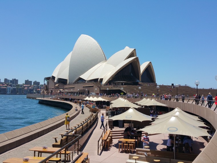
北美-南美-南極,誰會想到一次旅行解鎖三個大陸呢


中午回船吃午飯,繼續駛往下一個目的地,路上風景不表,來點驚喜


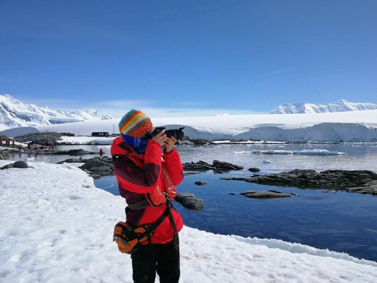
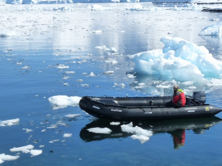
南極半島虎鯨群下午登陸有用島(Useful Island),第一次登陸。有用島位於榮格島以西3.2公里(2英里)處,島與島之間有一串岩石。它位於格雷漢姆島西海岸的傑拉許海峽。它是由 比利時 南極探險隊於1897-99年在阿德里安·德·熱拉希的帶領下發現的。巴布亞企鵝在島上較低的地方築巢,而帽帶企鵝則在較高的地方築巢。威德爾海豹在該地區很常見,還有海鷗、雪鞘嘴和賊鷗。它是在20世紀50年代由一個 英國 的測量探險隊命名的——它是一個多岩石但容易到達的山頂,是一個非常有用的地方來建立一個測量站!(Useful Island is 3,2 km (2mi) west of Rongé Island, with a string of rocks between them. It lies in the Gerlache Strait off the west coast of Graham Land. It was discovered by the Belgian Antarctic Expedition, 1897-99, under Adrien de Gerlache. Gentoo penguins nest on the lower parts of the island and Chinstrap penguins take the higher elevations. Weddell seals are commonly seen in the area, also gulls, Snowy sheathbills and Skuas. It was named in the 1950 s by a British Surveying expedition – it s rocky yet accessible summit was a very useful place to erect a survey station!)
南緯64˚43’ , 西經62˚52’(64˚43’ S, 62˚52’ W)